
Obstacle Limitation Surface 3D Visualisation
Here is the product of a couple more nights drawing on my mac. They are the MOS 139 compliant (or there abouts) obstacle limitation surfaces for the main runway at Brisbane Airport.
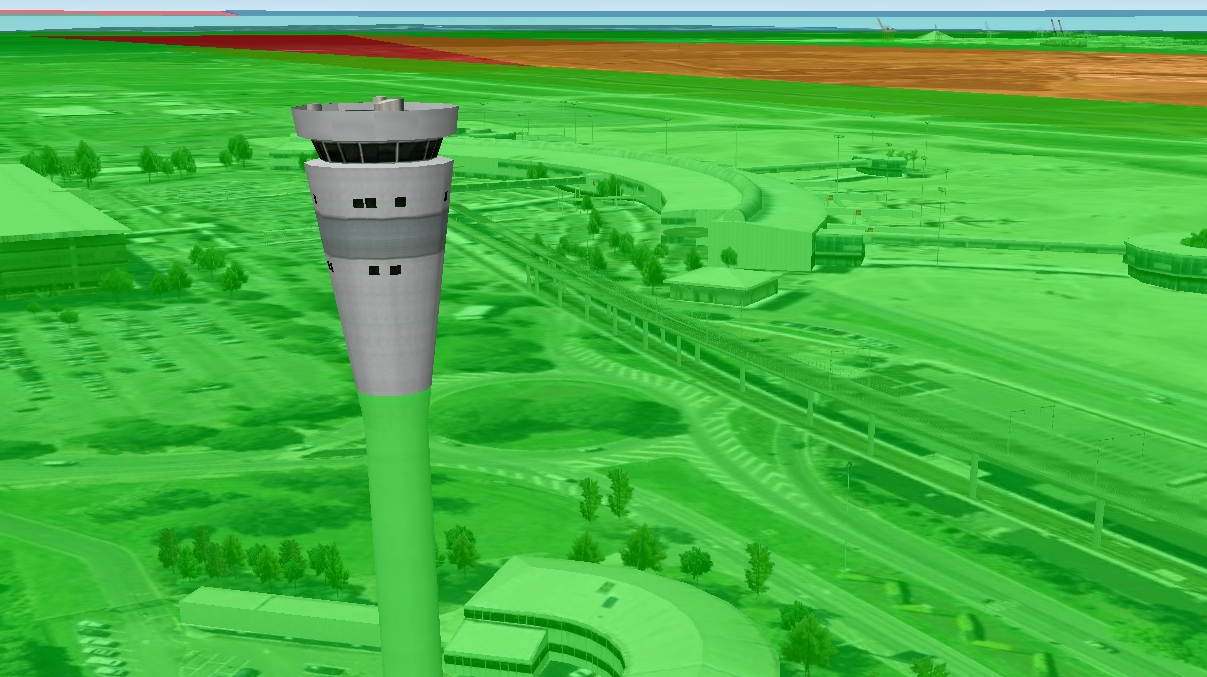
You can use Google Earth to really explore the OLS in all its (fairly accurate) 3D glory. Check out pictures below for established infringements. The gateway bridges also make for a good indication of the location of the OLS around the airport. Brisbane residents could even calculate the maximum height of their renovations.


And a long time before this, I also drew an exaggerated vertical scale version of a code 3 non-instrument OLS over a remote aerodrome in Western Australia.